Course Offerings
Currently Skidmore offers the following courses that use GIS:
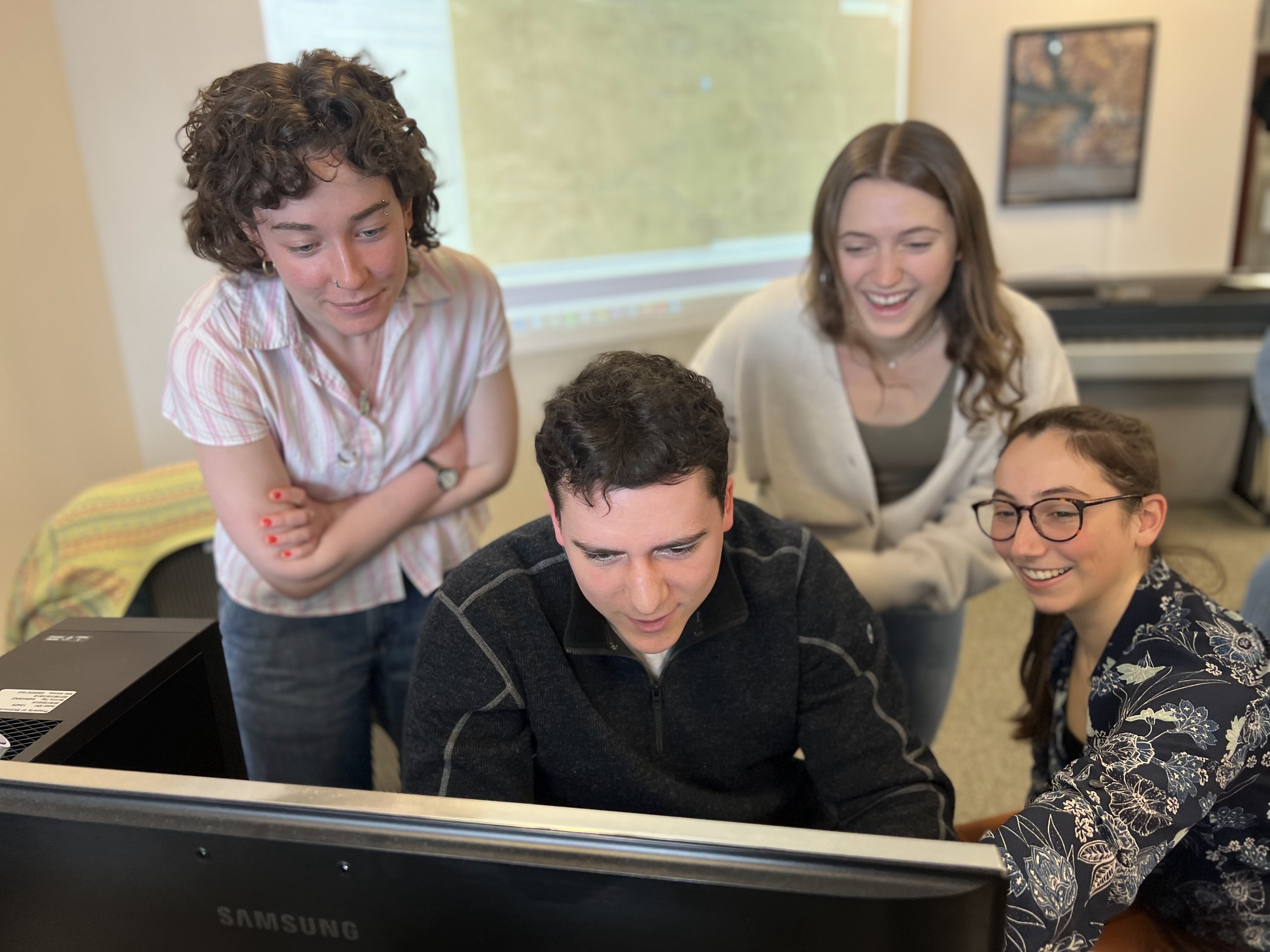
ID 210 Introduction to GIS
Credits: 4
An introduction to the concepts and principles of Geographic Information Systems (GIS) for computerized mapping and spatial analysis in the social and natural sciences. Students will be introduced to major concepts and principles of Geographic Information Systems (GIS) for computerized mapping and spatial analysis in the social and natural sciences. Students will be introduced to major concepts in GIS, become versed in the types of problems and analyses that GIS can be used to address and perform, and create effective presentations of geospatial information. Students will define a problem in spatial analysis, obtain relevant data from online sources, and use geoprocessing operations to produce quality maps. The course is designed to enable students to be self-sufficient, project-oriented GIS users.
Prerequisites: QR1
Note(s): (Fulfills QR2 requirement).
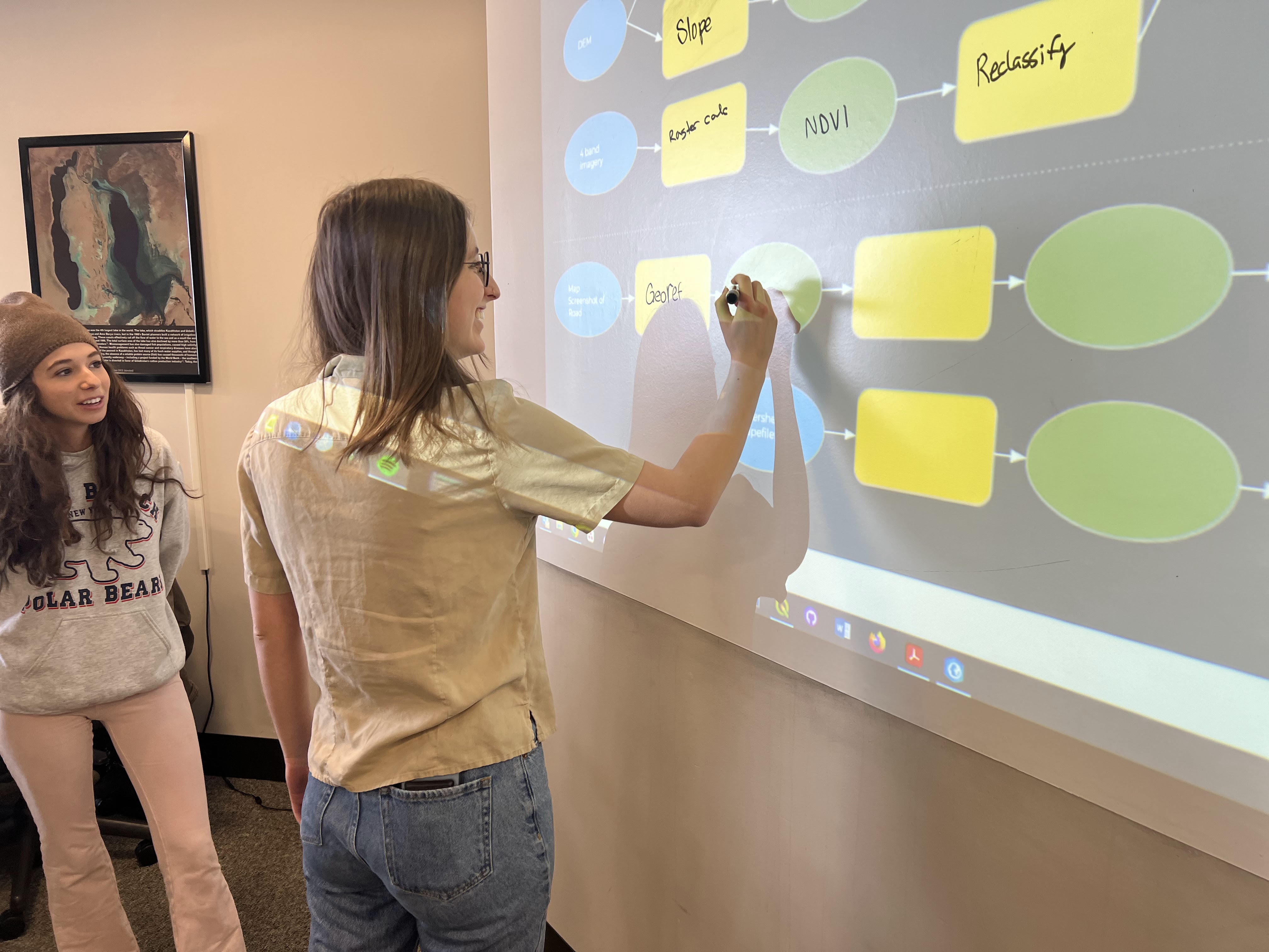
ID 351 Advanced GIS and Modeling
Credits: 4
This course provides an in-depth experience in applied GIS, remote sensing, and cartography. Students will develop skills in spatial analysis, remote sensing, and data science related to both the biophysical and social sciences. Students will become versed in advanced software applications for ArcGIS Pro and an introduction to command line analysis in Google Earth Engine (JavaScript), Python, and R using both remotely-sensed and vector-based data. The course will provide an additional focus on professional map production for publication and application. As an interdisciplinary course, topics will be adjusted to match student backgrounds, with the opportunity to individually explore topics specific to student interests through semester-long applied project work. Prerequisite: ID 210 or other introductory GIS class with permission of the instructor
ID 351 UAV Mapping and Analysis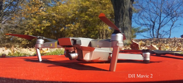
Credits: 2
In this one credit course, students gain an understanding of the practical applications
of UAVs for landscape mapping through discussion, guest speakers, and hands-on experience.
We dive into hardware, software, and best practices for UAV research, and we will
work with datasets that allow students to build orthoimagery, elevation models, and
3D point clouds. Additionally, we review materials necessary for passing the FAA Part
107 UAV Pilot Exam through course materials from dronepilot101. The course culminates
in an applied, independent mapping project.
Other: Several courses at Skidmore use GIS technology and the GIS Center for one or more
of its classes. These courses in the past have included Archeology, Environmental
Biology, Field Studies in Environmental Studies, Field Techniques (Geosciences), Hydrology
(Geosciences), Remote Sensing, Mesoamerican Archeology, Mapping the Social World,
Hist through Travel: Latin America, History and Cartography, Archival StorytellingClimatology,
Exploration of the Solar System, Sociology of the Family, Women's Studies Senior Seminar,
Women in the Global Economy, Marketing and Management Information Systems. The GIS
Center is also used in numerous senior projects, independent studies, capstones, and
student research projects.